Today I Learned: Why Your Fitness Tracker Thinks You Run Fast When on a Cruise Ship
It’s a physics problem set waiting to be solved.

Published on Apr 7, 2026
“Why would you go to the gym on a Disney cruise?” a stranger seated with us over dinner asked.
Why, indeed.
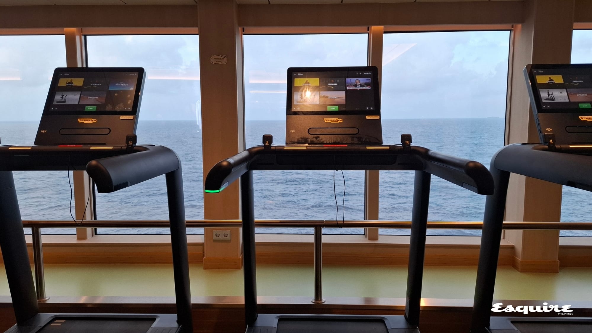
I explained that I just needed to try out the thankfully calibrated treadmill—especially after my GPS and fitness tracker “lost it” during an easy run on the ship’s upper deck. Like any other Strava-obsessed runner, I had woken up at the crack of dawn, laced up, and strapped on my Garmin.
Not only was I getting some cardio to offset the unlimited soda and all-day buffet aboard the Disney Adventure (probably not), but I was also verifying a myth. Several TikTok posts from runners at sea show GPS tracks that look like a tangled mess of spilled spaghetti, or worse, a perfectly straight line cutting across the ocean despite the runner actually circling the perimeter of a boat.
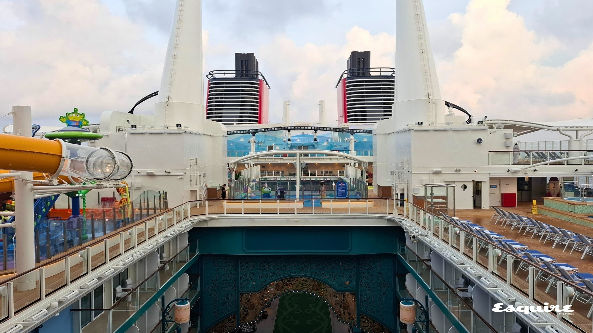
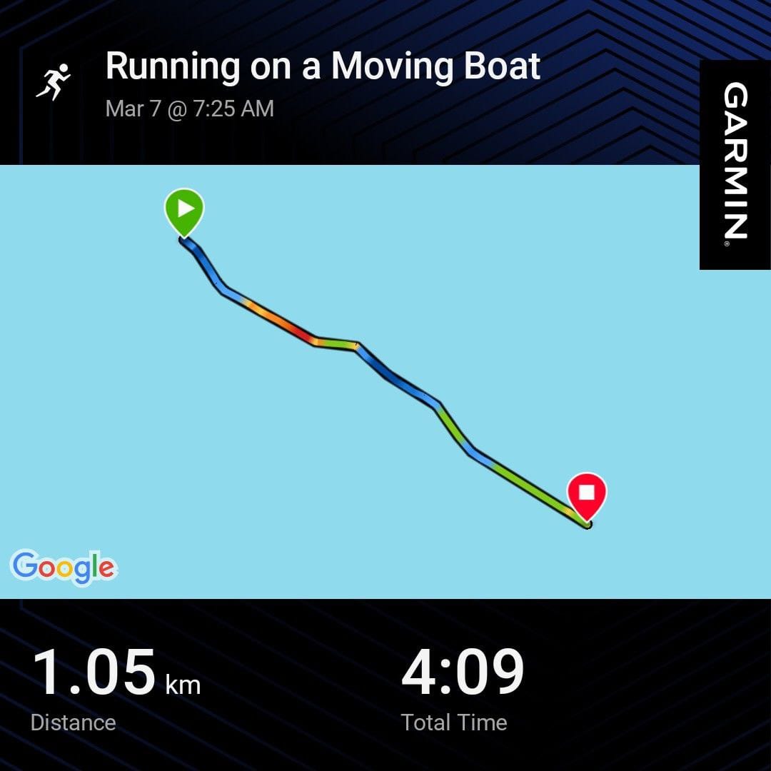
I ran one loop on Deck 18, which took just about five minutes. With the high-end Concierge lobby and staterooms at the front of the ship, rides like the Ironcycle Test Run (a rollercoaster at sea), and an infinity pool at the stern, there really isn't much length to run. Cruise maps online indicates that the Running Track is only 600 meters. This made it all the more surprising when my smartwatch claimed I ran 1.04 kilometers in four minutes and nine seconds—a 3:58/km pace. (For context, my personal record for a single kilometer on land is 7:53, and that’s not counting the fact that I walk-run anything longer than three kilometers.) Then, instead of a rectangular map, my Strava showed that I had run in a straight line over open water.
A quick Google search and a refresher on my nine units of college physics led me to Classical Mechanics 101.
The Case of the Resultant Velocity
The Resultant Velocity of an object is the sum of its individual vector velocities. "Individual vector velocities" is just a fancy way of saying measurements of speed that include a direction component. When you move on a moving ship, there are two distinct components in motion: my running velocity (Individual Vector A or Vrunner) and the ship's velocity (Individual Vector B or Vship).
The Resultant Velocity (Vr) is the sum of these two. My watch, not knowing any better, reads this total as if I am running on solid ground. Since a cruise ship typically travels at 18 to 22 knots (roughly 33 to 41 km/h), when I ran toward the bow, the ship's massive forward momentum was added to my modest jogging pace. A bit of vector addition later, and my watch recorded the pace of an elite athlete.
ALSO READ: Today I Learned: Singapore's Marina Bay Loop Is a Scenic 3-km Run
Absolute vs. Relative Motion
As for the recorded straight line versus the loop I actually ran, that comes down to the difference between Absolute Motion and Relative Motion. Absolute Motion is an object's movement relative to a fixed, non-moving frame of reference (like the Earth’s center), while Relative Motion is movement observed from a specific, often moving, reference point (like the ship's deck).
When I run a loop on a moving ship, that is my Relative Motion. On land, my Relative Motion and Absolute Motion are essentially the same because the reference point isn't moving. On a cruise ship, they are wildly different.
The GPS doesn't account for the ship; it only cares about Absolute Motion. While I was turning to complete the loop, the ship never stopped, and the platform beneath me was constantly sliding forward. It’s like trying to draw a circle on a piece of paper while someone is pulling that paper away from you—you can’t exactly close the loop.
As a result, the GPS tracker can't figure out why my start and finish lines are miles apart; it eventually just gives up and draws a straight line over the water. Other Strava posts show a straight line with several small, tight loops (looking like a tangled phone cord—a reference only millennials and older will truly get). I could have run more laps to achieve a similar pattern, but running on a moving platform that isn't a treadmill feels strange. I wasn't about to risk a bout of seasickness just for a better Strava map.
The Spilled Spaghetti
Aside from maps showing a single straight line in the vast blue sea or a tangled phone cord, there are also those that look like a bird’s nest or a plate of spilled spaghetti. While this occasionally happens on land, at sea, it is almost always due to Multipath Interference. To understand why, we first need to know how the Global Positioning System (GPS) actually works.
As it turns out, GPS is a satellite-based navigation system owned by the United States Space Force and operated by Mission Delta 31 (another "Today I Learned"). It is just one of many global navigation satellite systems that provide geolocation and time information to a receiver anywhere on or near the Earth where the signal permits.
The GPS watch acts as that receiver, "listening" to signals from satellites orbiting 20,000 kilometers above. It uses trilateration—a geometric method used to determine the exact position of an object by measuring distances from at least three known points—to pinpoint your location based on exactly how long it takes for those signals to travel from space to your wrist.
This process, however, makes your watch highly susceptible to Multipath Interference. This occurs when radio waves travel from a source to a detector via multiple paths—such as a direct line-of-sight combined with various reflections—causing the signals to arrive "out of phase."
When satellites beam a signal to a watch on a cruise ship made of steel, glass, and reflective alloys, that signal goes through multiple interferences. It might bounce off the ship's surface before hitting your wrist, delaying the signal by a mere fraction of a microsecond. That might not seem like much, but GPS math requires hyper-precision; a tiny delay tells the watch you’ve suddenly teleported 100 meters into the waves. The result is that frantic, jagged scribble on your Strava feed.
There is, of course, a way to outsmart the physics, calibrate the sensors, and out-math the vectors to get a "clean" Strava map. But really, I could have just ditched the watch and basked in the moment. I was running. On a Disney cruise ship. In the middle of the ocean.
Christa I. De La Cruz is a Palanca Award-winning writer with over 15 years of experience in feature writing for print and digital media. She earned her Sertipiko sa Malikhaing Pagsulat sa Filipino from the University of the Philippines Diliman and holds an MFA in Creative Writing from De La Salle University.