
Switzerland: A Guide to Stunning Trails, Alpine Peaks, and Scenic Adventures

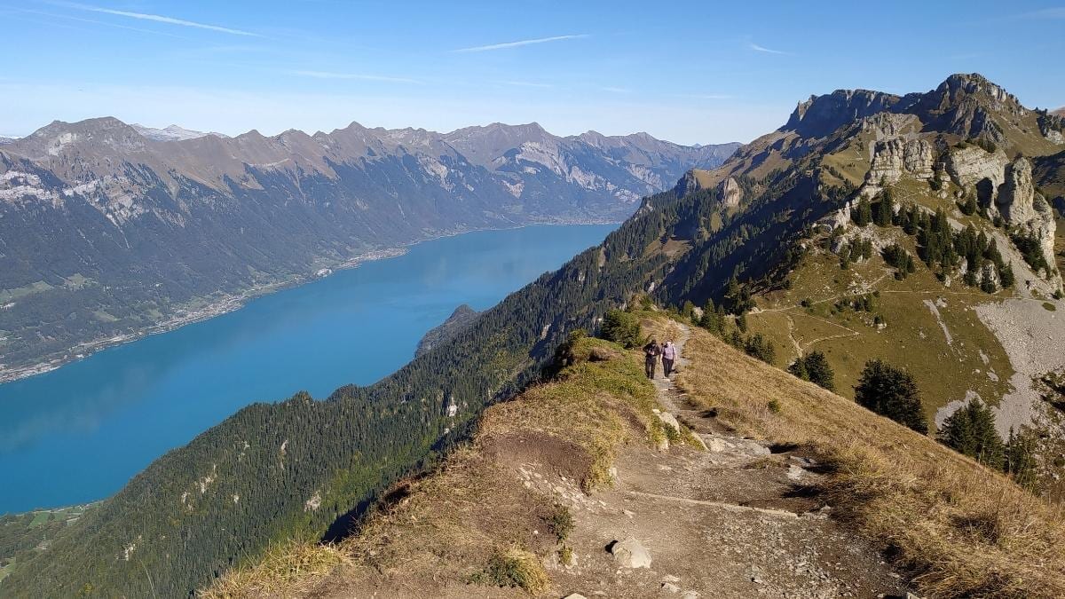
As I was planning my trip to Switzerland, I made sure I spent more time in nature than in the country’s towns and cities. Don’t get me wrong, those places are full of charm and history. However, why would I go to one of the most beautiful countries in the world and miss out on a rewarding day hike to see spectacular vistas? Because traveling to Switzerland can blow a hole in your pocket quite easily, I meticulously planned my route and found trails I could do from Lauterbrunnen, Grindelwald, and Interlaken. These were the Eiger Trail, Schynige Platte, the Männlichen to Kleine Scheidegg panoramic trail, Bachalpsee, and the Grütschalp, Mürren, and Gimmelwald Trails.
ALSO READ
Istanbul on Foot: Following Orhan Pamuk's Memories of the City
Into the Gobi Desert: An Expedition through a Land of Contrasts
The Grand, Sweeping Vistas of Schynige Platte
I included Schynige Platte, a small mountain ridge with three peaks, in my hiking itinerary because of its accessibility from Interlaken and the other trails on my list. From Interlaken, I took a short train ride to Wilderswil Station. Then, I walked to the station where visitors can ride a historic electric locomotive up to Schynige Platte.
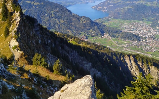
The idea of constructing a railway started in 1880, with the full operation commencing on June 14, 1893. It made going up the mountain easier and more accessible for hikers, and steam powered the locomotives until electricity replaced it in 1914. The cars are pushed up instead of pulled because of the steep inclines they have to go through until passengers reach the station. Many of the original structures are still in place and used, making the trip unique and letting visitors be a part of history. The ride up takes one through stunning vistas of the mountains. It takes around 50 minutes to reach the final stop.
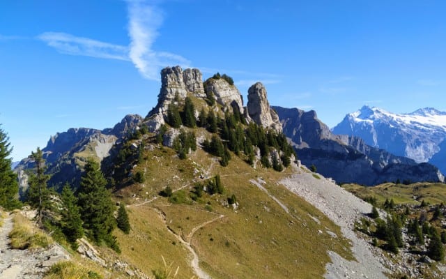
While I had choices to make when it came to which trail to follow, it was impossible to make the wrong one because everywhere you look is beautiful. I settled on the scenic Panoramic Trail. The dirt road has gradual inclines, which many can easily navigate. The circular route provides spectacular views of the mountains, the ridge, Lake Brienz, and the town below. The notable viewpoints are from Daube and Oberghorn. I took my time stopping and staring at the surroundings, and I couldn’t help but be grateful to see nature’s wonders. If you have the time and the energy, you can go all the way to Faulhorn or First.
The North Face
My wanderlust took me to another popular day hike in Switzerland, the Eiger Trail, that is located in the Jungfrau region of the Bernese Oberland. It stands at 3,970 meters above Grindelwald and is known as the "last problem of the Alps," after waging a battle of over four days before it was conquered in 1938.
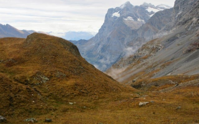
My journey started in Grindelwald, where I took the cable car ride to Eigergletscher Station. The roughly 15-minute ride ascended the mountain, surrounded by majestic views of snow-capped peaks that pierced the clouds with their jagged edges. Many websites recommend starting this hike from the said station because you’ll be hiking/walking/jogging downwards instead of ascending. The route I decided to take was from the station to Alpiglen. You have the option to start from Alpiglen, but the ascent would be steeper, and you’d be moving away from the spectacular landscapes instead of going toward them.
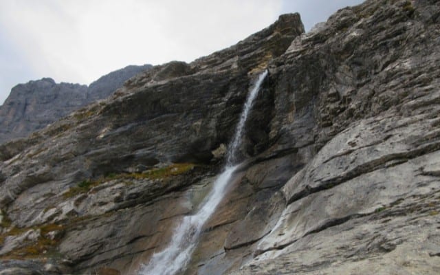
I was alone when I started the hike. It was towards the end of the hiking season, hence the lack of people on the trail. A dense fog enveloped the route I was about to follow, but it didn’t take long for it to vanish. It was only a few minutes (and a few hundred meters) into the hike, there was already plenty of mountain views to gape at. The craggy and rugged ridgelines of the environs were all picture-perfect. The main draw of this hike is the North Face. This rock formation looms over its surroundings and is a conquest that many adventurous hikers take on. The Eiger trail is more challenging than Schynige Platte because you need to be sure-footed and moderately fit in some sections because of their steep decline or incline, uneven paths, and rocky surface. If you’ve done a bit of hiking before, it’ll be a manageable journey.
Slow but Steady
I spent a night in the quaint village of Lauterbrunnen. The valley is hemmed in by magnificent cliffs and the mountains in the distance, with charming wooden houses, accommodations, shops, and restaurants dotting the neighborhood. The serene ambiance reminded me of the rural villages and towns I visited when I traveled around the Philippines.
Lauterbrunnen
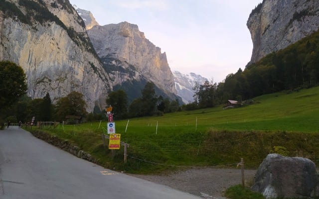
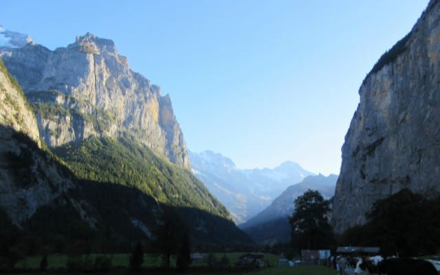
I used Lauterbrunnen as a base for the Grütschalp, Mürren, and Gimmelwald Trails. I took the cable car to Grütschalp, where I started the trek. The trail was flat and meandering, a welcome relief for my legs that still ached after the Eiger hike. It felt like time was moving at a glacial pace as I walked and admired the alluring landscapes. The country is home to more than 40 mountains that are around 4,000 meters high, and it has around 1,500 lakes. Mountain regions constitute 70 percent of Switzerland’s territory. Railways, cable cars, and roads connect villages to towns and cities. These developments have made hiking accessible and convenient for almost everyone.
Grütschalp, Mürren, and Gimmelwald Trails
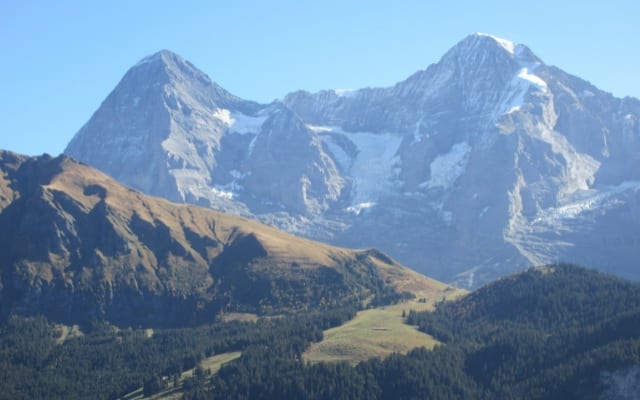
I arrived in Mürren, a captivating mountain village, where there were more establishments and a hustle and bustle that wasn’t prevalent in Lauterbrunnen. I followed the signs that directed me toward Gimmelwald, my final stop to finish the day hike. The serpentine concrete road crept down the mountain all the way to the cable car station.
A Long and Scenic Walk
The Männlichen to Kleine Scheidegg Trail is long but has absorbing sceneries. It’s also one of the easiest day hikes on this list. You can start at either Lauterbrunnen or Grindelwald. From Grindelwald, you can take a cable car directly to Männlichen. If you’re coming from Lauterbrunnen, you’ll have to stop at Wengen first, then take another cable car to Männlichen.
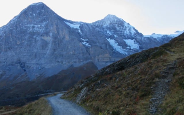
Regardless of where you’ll be coming from, you’ll be rewarded with stunning views when you start your hike until you finish it in up to two hours. There’s no need to rush, as the path to Kleine Scheidegg is clear. I took this opportunity to sit on random benches along the way to simply admire the view.
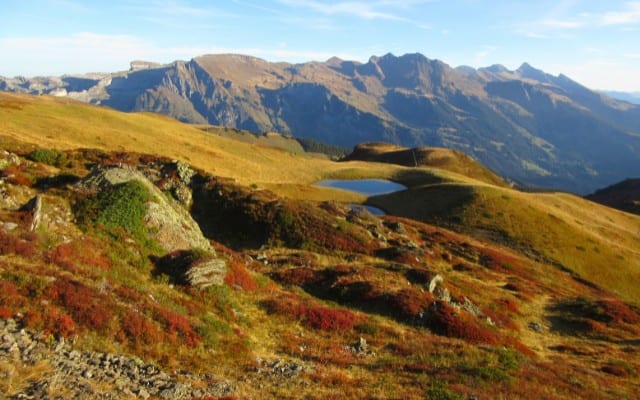
Travel experiences don’t always have to be profound; there is beauty in simplicity and in doing nothing. Maybe in those moments of stillness, you get to reflect on the person you’ve become or, better yet, just enjoy the view.
Frozen Moments
The last day hike on my list was to First and Bachalpsee. I saved it for last because it was the easiest of all the hikes I planned to do. I took the cable car from Grindelwald to First. As lucky as I was with the weather with the other hikes, I was unfortunate with my trip to First and Bachalpsee. It was snowy and foggy throughout my trip. The sky and fog cleared for just a few minutes. However, I didn’t let these uncontrollable mishaps ruin my day.
First
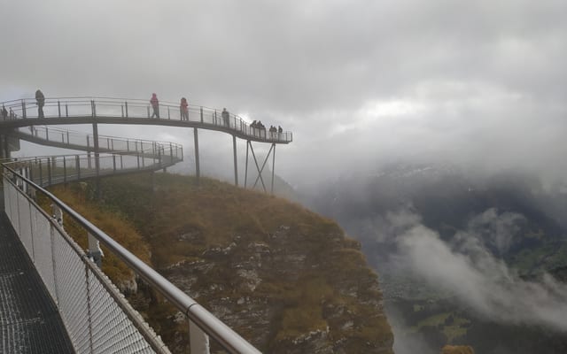
Bachalpsee
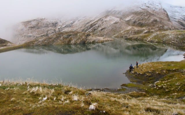
I pushed through with the trek to the lake. I caught glimpses of the mountain peaks, the town below, and the beautiful Bachalpsee. The trek to the lake and back to the station was around two hours or less. This could’ve been the perfect and scenic day hike if not for the inclement weather.
Getting Around Switzerland
Switzerland has an efficient public transportation network that makes it easy and convenient to get around. Even if you don’t have your own vehicle, you can use a SwissPass or a Half Fare Card. The SwissPass covers the whole cost of some public transportation routes for a set number of days. The Half Fare Card (as its name implies) gives you a 50 percent discount on many public transportation routes, even for cable car connections in the places listed above.