

A Guide to the 9 Major Dams of the Philippines

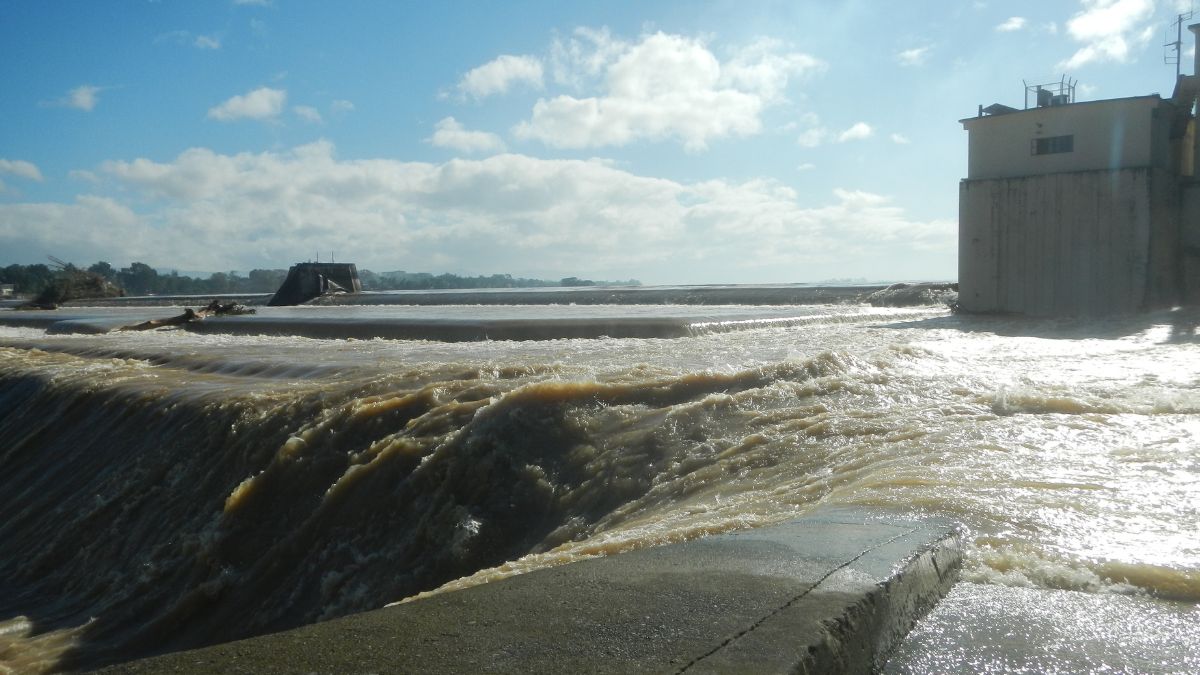
During typhoons, one of the major concerns is the state of our dams, and understandably so. There is a fear that releasing large volumes of water from the dams could result in increased river levels downstream. This could lead to flash floods, which could submerge communities, agricultural lands, and infrastructure.
To address these fears and ensure the safety of residents, the Philippine Atmospheric, Geophysical and Astronomical Services Administration (PAGASA) and the local government units (LGUs) regularly update the communities concerned on the dam water levels. Public awareness campaigns ought to be conducted as well to educate residents on safety measures and evacuation procedures, to avoid panic and ensure a coordinated response during emergencies.
Here's what you need to know about the nine major dams in the Philippines:
Angat Dam
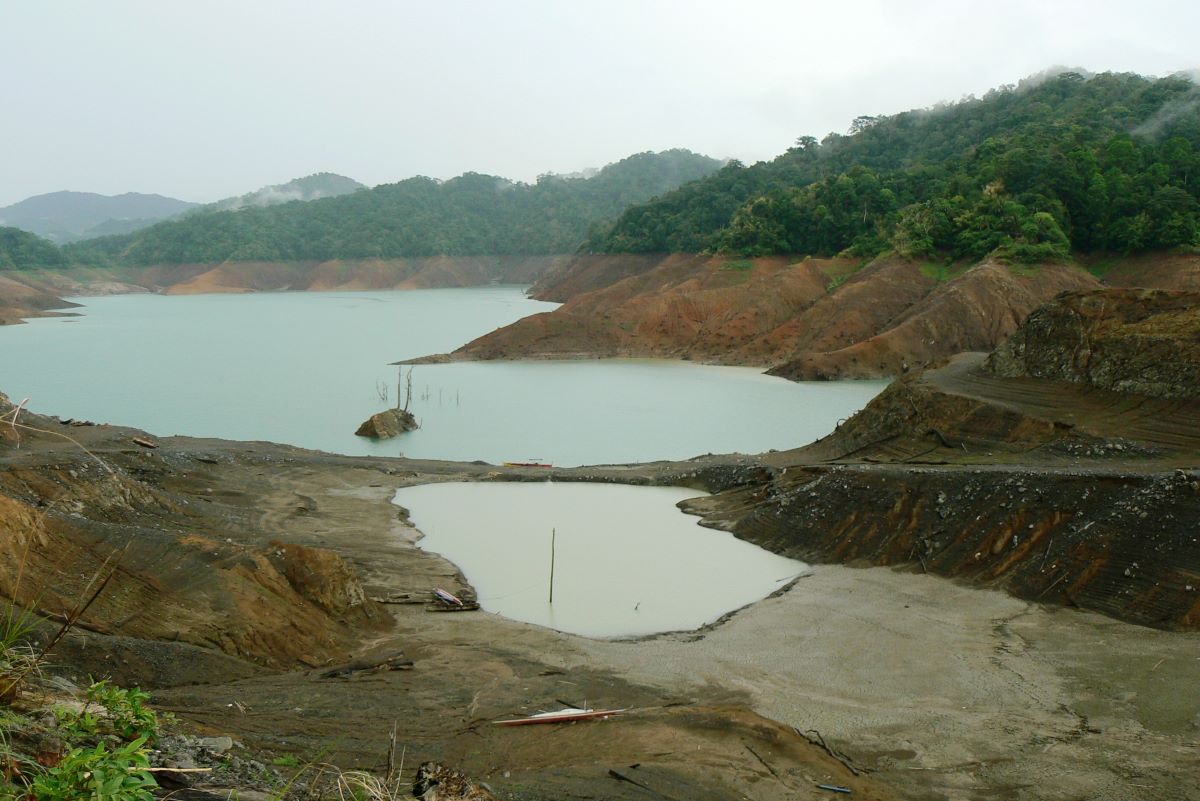
Angat Dam
Location: Barangay San Lorenzo (Hilltop), Norzagaray, Bulacan
Specifications: Built between 1961 and 1967, this rockfill dam is approximately 131 meters (430 feet) high, 568 meters (1,864 feet) long, and 2,300 hectares (5,700 acres) wide. It can store up to about 850 million cubic meters of water.
Functions: The dam, which impounds the waters of the Angat River, supplies more than 90 percent of the Metro Manila's potable water needs, irrigates about 28,000 hectares of farmland in Bulacan and Pampanga, and provides hydro-electric power with a total generating capacity of 218 MW.
Water level: According to a December 2023 edition of UP Los Banos' Journal of Environmental Science and Management, Angat Dam has a normal high water level (NHWL) of 210 m during the flood season (May 1 to October 31) and 212 m during non-seasonal flood season (December 1 to April 30).
Water released from Angat Dam flows through the Angat River, benefiting downstream ecosystems and communities. Some of the water also goes to Ipo and Bustos Dams; it is treated after passing through Ipo and La Mesa Dams before being supplied to Metro Manila and nearby provinces.
ALSO READ
We Get Hit By These Disasters Over and Over Again. It Doesn’t Seem Like We’ve Learned Anything
Typhoon Carina: These Malls and a School Are Offering Temporary Shelter
NOAH Website From 2012 Still Maps Out Flood Hazard Level
Ipo Dam
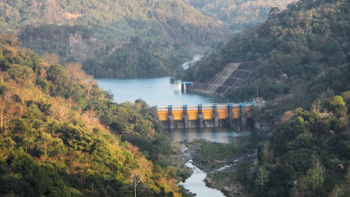
Ipo Dam
Location: Norzagaray, Bulacan
Specifications: This gravity dam, which is part of the Angat-Ipo-La Mesa water system, is located 7.5 kilometers downstream of the Angat Dam, within the Angat Watershed Forest Reserve. It is approximately 101 meters (331 feet) high and 109 meters (358 feet) long, with a catchment area of 107 square kilometers and a capacity of about 7.5 million cubic meters.
Completed in January 1984, it boosted the capacity of the old Ipo dam by around 2,500 million liters per day (MLD). The old dam, located 200 meters upstream of the new dam, was built December 1938.
Function: According to Manila Water, the Ipo Dam is primarily a diversion dam—it channels water from Angat Dam and the Ipo River to La Mesa Reservoir and Balara Balara Filtration Plants. The water passes through concrete tunnels to reach Ipo Dam, then into three connecting tunnels and settling basins in Bicti, Norzagaray, and into five Bicti-Novaliches aqueducts. These aqueducts deliver up to 4,500 million liters of water per day to the Novaliches Portal, where most of the water passes through three open channels going to Balara Treatment Plants.
Water level: The dam's current NHWL is 101.10 m, according PAGASA.
La Mesa Dam
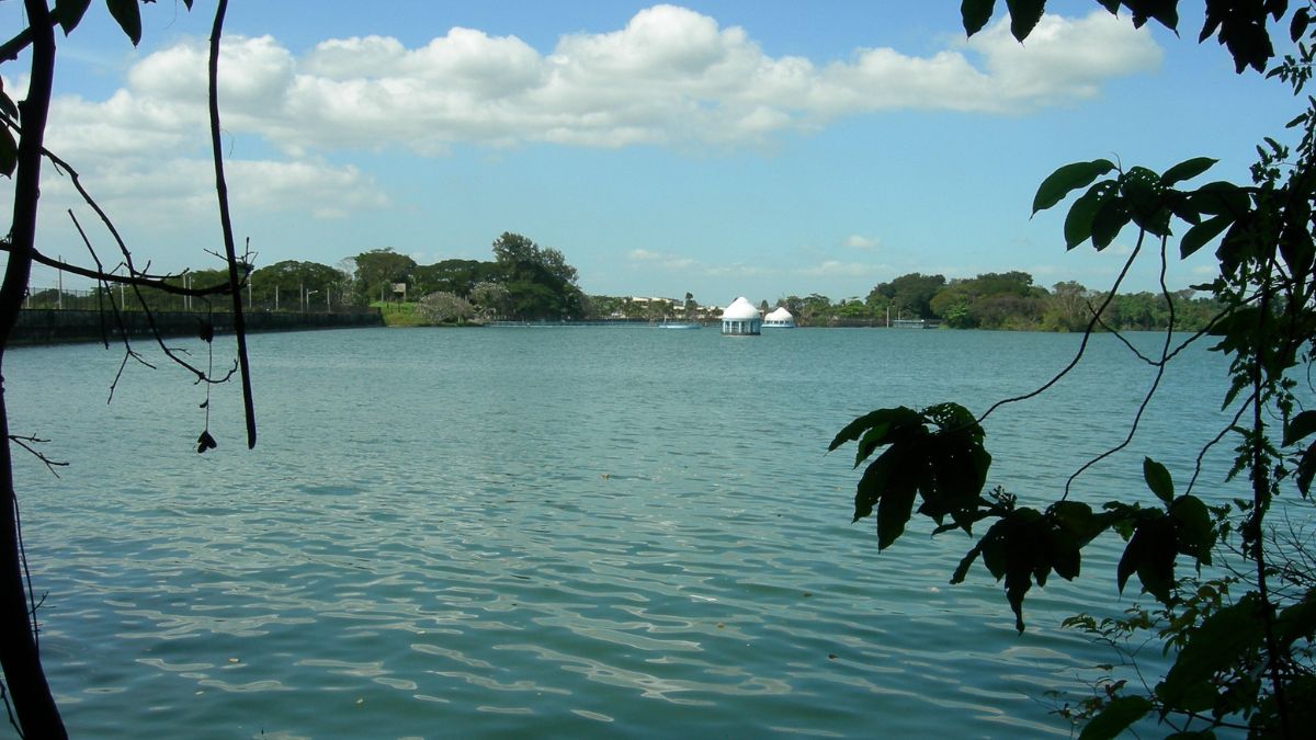
La Mesa Dam
Location: Quezon City
Specifications: Originally constructed in 1929, the earth dam was elevated in 1959 to enhance its capacity and operational efficiency. It currently has a maximum storage capacity of 50.5 million cubic meters and an overflow level of 80.15 meters. The dam's watershed spans 27 square kilometers and receives an average annual rainfall of 2,000 millimeters.
Functions: As part of the Angat-Ipo-La Mesa water system, the reservoir is a crucial component of Metro Manila's water supply system. The La Mesa Dam functions primarily as a sedimentation basin, holding enough water to meet Manila Water's supply needs for 19 days. In dry months, it acts as a buffer to ensure a continued water supply. The dam features three intake structures that connect via aqueducts to the Balara and East La Mesa Treatment Plants.
Water level: The normal operational level of La Mesa Dam varies between 78 meters and 79 meters. In cases of excessive rainfall or to prevent overflow, water is released to downstream areas, mainly the Tullahan River, before emptying into Manila Bay.
These downstream areas are part of a network that manages overflow and ensures that excess water from the La Mesa Dam is safely discharged, thereby preventing flooding and maintaining the structural integrity of the dam itself.
Ambuklao Dam
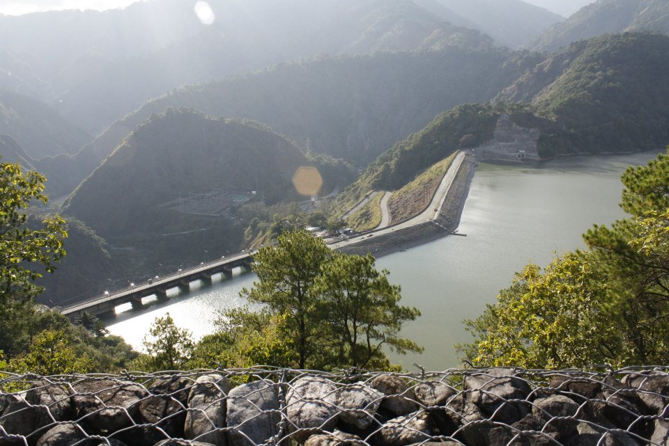
Ambuklao Dam
Location: Bokod, Benguet province
Specifications: The gravity dam is constructed on the Agno River, the third largest river in the country. The crest of the dam is at an elevation of 752 meters above sea level. The dam stands approximately 129 meters tall and extends to about 452 meters. The reservoir covers about 7.5 square kilometers and has a capacity of approximately 327 million cubic meters.
Functions: Ambuklao Dam is one of the Philippines' major hydroelectric dams. Originally, it had an installed capacity of 75 MW. Following its refurbishment in 2011, the capacity was increased to 105 MW. The dam utilizes three Francis turbines for power generation. While the primary purpose of Ambuklao Dam is power generation, it also plays significant roles in flood control, irrigation, and water storage.
Water level: The NHWL at Ambuklao Dam is 752 meters. As a catchment basin of water coming from the upland Cordillera, water from the dam drains to the Agno River down to San Roque Dam.
Binga Dam
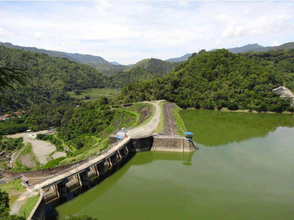
Binga Dam
Location: Barangay Tinongdan, Itogon, Benguet
Specifications: Binga Dam was constructed between 1956 and 1958 and became operational in 1960. This rock-fill dam stands at 107.4 meters high, with a crest elevation of 586 meters above sea level and a length of approximately 215 meters. In the early 2000s, the dam and its facilities underwent significant rehabilitation and upgrades, enhancing both efficiency and safety. This rehabilitation project was completed by SN Aboitiz Power (SNAP) in collaboration with the National Power Corporation (NPC).
Functions: The plant was commissioned in 1960 with the purposes of generating electricity and providing flood control services. It is located on the Agno River and forms an essential part of the Luzon hydroelectric power complex, along with Ambuklao and San Roque Dams. The hydroelectric power plant has an installed capacity of 140 MW.
Water level: The NHWL at Binga Dam is 575 m. Immediate recipient of the water released from Binga Dam is the Agno River. A significant portion of the water released from Binga Dam flows downstream to San Roque Dam. After passing through the San Roque Dam, the water continues down the lower Agno River basin. Both Binga and San Roque Dams play a crucial role in flood mitigation. Controlled releases from these dams help manage the water levels during heavy rainfall, thereby preventing downstream flooding.
Magat Dam
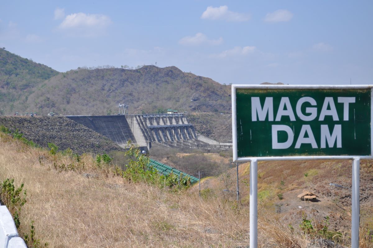
Magat Dam
Location: Magat River
Specifications: Construction of the large rock-fill dam began in 1975 and was completed in 1982. Standing at 114 meters tall and extending approximately 4.16 kilometers in length, the dam has a storage capacity of about 1.08 billion cubic meters of water.
Functions: Magat Dam is one of the largest dams in the Philippines and plays a crucial role in water resource management in the Cagayan Valley region. This multipurpose dam is designed for irrigation, hydroelectric power production, and flood control, supporting agricultural activities and providing electricity to the region. The hydroelectric power plant at the dam can generate up to 380 MW of electricity.
Water level: The NHWL at Magat Dam is 190 meters. Water released from Magat Dam flows into the Magat River, a significant tributary of the Cagayan River, which is the longest river in the Philippines.
San Roque Dam
Location: Pangasinan
Specifications: The dam was completed and began operations on May 1, 2003, under the San Roque Multipurpose Project (SRMP). It stands 200 meters tall and 1.2 kilometers (0.75 miles) long, making it one of the largest embankment dams in Asia.
Functions: San Roque Dam is designed for multiple uses, including generating electricity, providing irrigation for agriculture, and helping with flood control in the region. The hydroelectric power plant has a capacity of 345 MW, although some sources mention an extended capacity of up to 435 MW for the entire facility.
Water level: The NHWL at San Roque Dam is 280 meters. Water released from San Roque Dam flows into Agno River, which is a major river system in the Luzon region. Eventually, the Agno River carries the water to the Lingayen Gulf, which opens out into the South China Sea.
Pantabangan Dam
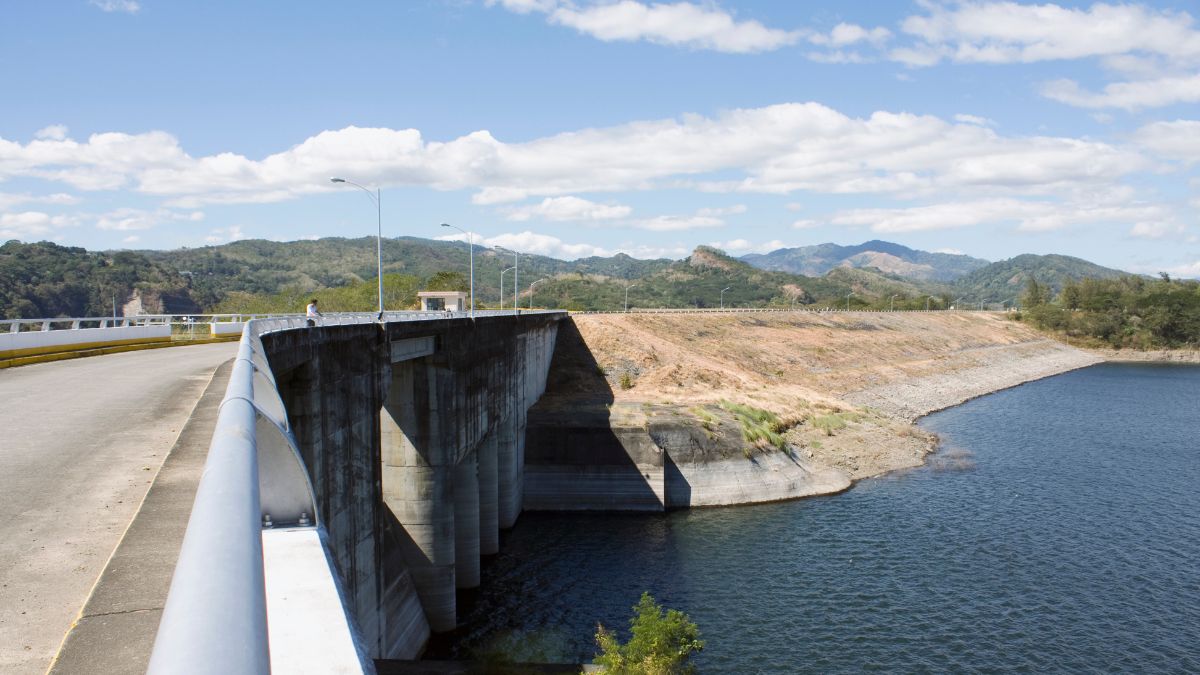
Pantabangan Dam
Location: Pantabangan, Nueva Ecija
Specifications: The reservoir, known as Pantabangan Lake, is one of the largest and cleanest earth-fill embankment dams in Southeast Asia. Its construction, which began in 1971 and was completed in 1977, led to the submersion of the historic town of Pantabangan. Structures and landmarks from the old town occasionally resurface during droughts.
The dam is 107 meters (351 feet) tall with a length of 1,615 meters (5,299 feet). The elevation at the dam's crest is 232 meters (761 feet) above sea level.
Functions: The dam provides a reliable supply of irrigation water for agricultural lands in the surrounding areas, generates electricity through a hydroelectric power plant, and ensures a consistent water supply for domestic and industrial use. The dam also helps mitigate flooding by controlling water flow, especially during heavy rains and typhoon seasons. The reservoir is also used for recreational activities such as fishing and boating.
Water level: The NHWL at Pantabangan Dam is 216 meters, according to PAGASA. When water is released from Pantabangan Dam, it primarily flows into the Pampanga River.
Caliraya Dam
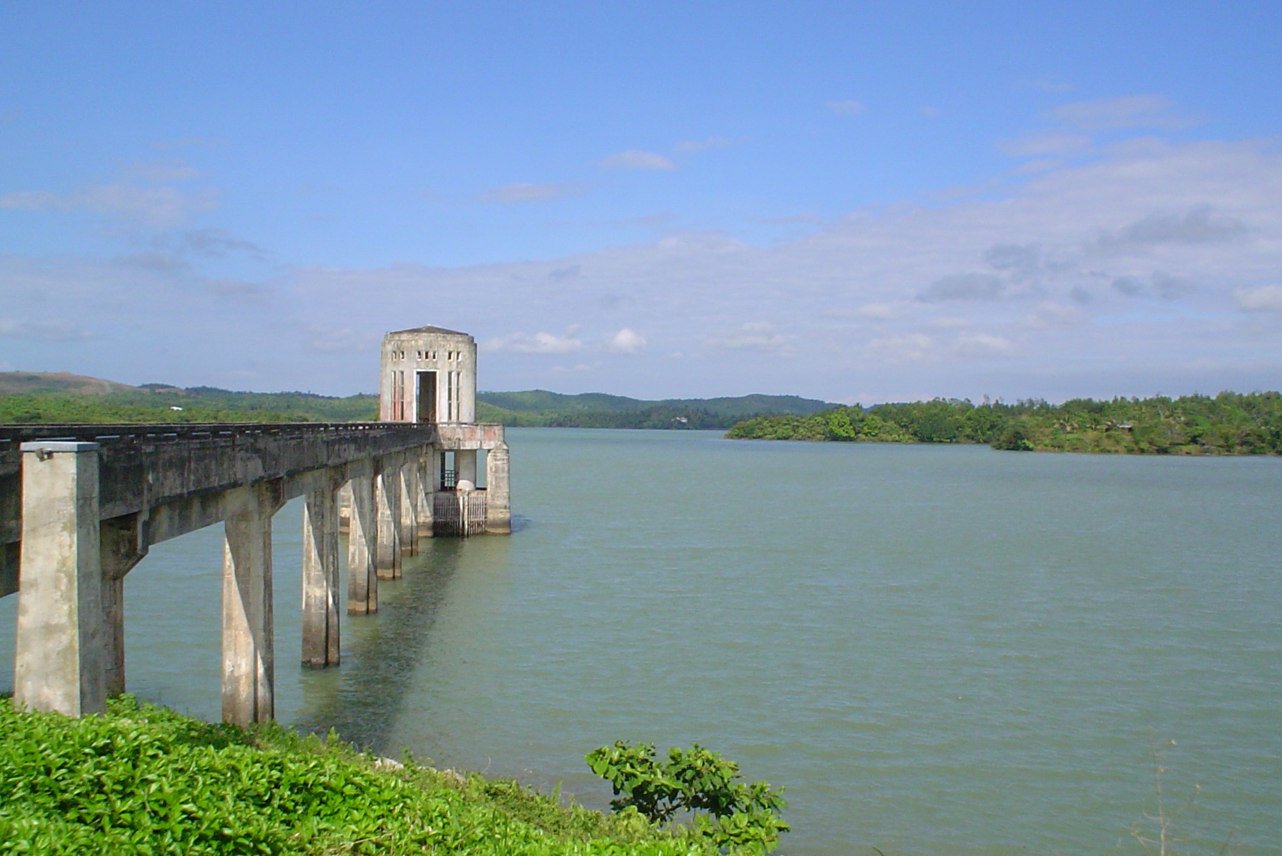
Caliraya Dam
Location: Towns of Lumban and Cavinti in Laguna
Specifications: Caliraya Dam is one of the few elevated reservoirs in the Philippines, contributing to its cooler climate and scenic views. Its length is approximately 450 meters while its height is around 30 meters.
Functions: The dam was constructed during the 1930s to provide water for irrigation. Its primary purpose now is hydroelectric power generation, produced by the Caliraya Hydroelectric Power Plant. The plant has an installed capacity of 28.8 MW. It is one of the earliest hydroelectric power stations in the country and is unique for its pumped storage system.
The dam creates Caliraya Lake, a man-made lake that has since also become a popular destination for recreational activities such as fishing, boating, and watersports.
Water Level: The minimum and maximum normal operating water levels of the Caliraya Reservoir are at 286 and 288 masl. When water is released from Caliraya Dam, it flows into several key channels and bodies of water, including Lumot Lake and Laguna de Bay. During heavy rains or typhoon season, water released from Caliraya Dam can eventually make its way into Laguna de Bay.