
Today I Learned: Why Metro Manila Is Prone to Widespread Flooding

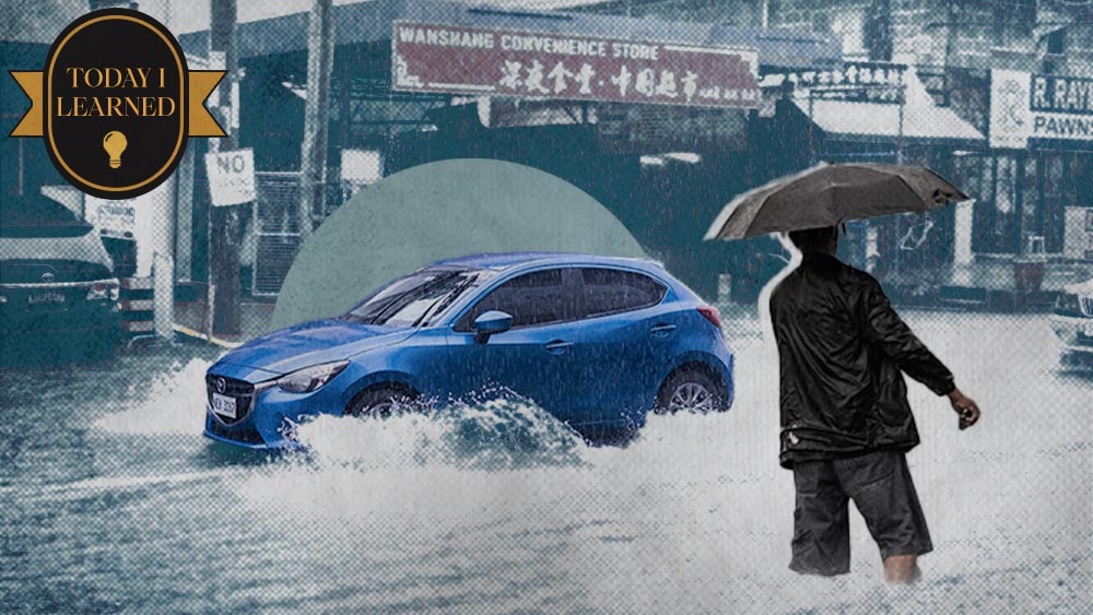
Nowadays, we can't talk about the rainy season in Metro Manila without expecting widespread flooding in various areas. While the country has experienced severe floods since the '70s, reports indicate that the situation is worsening. Why have we never been able to address this issue all these years?
This was the topic of discussion in one episode of The Howie Severino Podcast with Flood Control Systems Expert Dr. Guillermo Tabios. Why is it "forever flooding" in Mero Manila?
Built on Swamp Land
According to Tabios, who's a civil engineer and a Professor Emeritus at the University of the Philippines, topography-wise, a big part of Metro Manila is built on low-lying, swampy areas. In other words, the National Capital Region (NCR) is naturally prone to flooding due to its geographical features.
Tabios mentioned areas like Sampaloc, Tondo, Binondo, Pasay, and Valenzuela, which are part of the Marikina or Tullahan River Basin deltas. Water flows down from the Sierra Madre mountains and spreads out across these flatlands. "You'll have a network of channels that form a delta toward the sea. Now, you build a city on that, and that's why you have all those esteros in Manila. So, it was really flood-prone to begin with," he explains.
According to National Geographic, "Deltas are wetlands that form as rivers empty their water and sediment into another body of water, such as an ocean, lake, or another river. Although very uncommon, deltas can also empty into land."
Developments often disrupt the natural water channels. "So, magtayo ka ng mga housing doon, magtayo ka ng mga daan, mawawala yung natural na waterways. I think even in the 1500s and 1600s, meron tayong mga swamps, esteros, and canals that bring out water from the Marikina River Basin or Tullahan all the way down. Wala namang tao kaya walang flood disaster. Now you put people, so nagkaroon ng disaster," he adds.
ALSO READ
NOAH Website From 2012 Still Maps Out Flood Hazard Level
How to Stay Safe During a Flood
Navigating Flood Control in a Tropical Country
Another reason that makes the Philippines vulnerable to flooding is the fact that it's a tropical country, says the UP Professor Emeritus. "It's a humid, tropical country where you can get lots of rain: typhoons in our case. We also have monsoons. We're even in the intertropical convergence zone (ITCZ)," he says.
The ITCZ is associated with consistent, often heavy, rainfall because of the warm, moist air rising and cooling, which then condenses into clouds and precipitation. The convergence often results in thunderstorms and is a significant factor in the development of tropical cyclones or typhoons.
The above-mentioned factors make flood control extra challenging. While we are very good at master planning, says Tabios, it's dependent on foreign technical assistance. "So, once na ginawa na ang study, or tapos na, and then umalis na yung mga foreign consultants, wala nang follow-up," he observes.
"If you look at flood dynamics and flood disasters, they are very evolutionary in nature because of changes in land use. When you change land use, you create different pervious (which absorb rainwater) and impervious (which do not absorb rainwater) areas. There's encroachment from land developments. The waterways that would normally carry water from inland regions to the rivers and the sea are lost," he says.
Then compounding this dilemma is the garbage problem clogging the waterways. All these changes have rendered the original master plan outdated, he points out. While master planning is essential, adaptive planning that involves retrofitting and adapting to the new landscape is crucial.
Manila Bay Reclamation
Severino asked Tabios if he thinks the Manila Bay reclamation is expected to worsen the flooding in Metro Manila. The expert says yes. Environment Secretary Toni Yulo-Loyzaga mentioned during a hearing, says Tabios, that the natural waterways in Roxas Boulevard were cut off, which impacted the discharge of water from inland to the sea.
"Back in the 1960s, without the reclamation projects like SM Mall of Asia and Cultural Center of the Philippines, water from Roxas Boulevard quickly flowed into Manila Bay due to the wide river channel," he says. With reclamation, it now requires a greater distance for the water to flow to the sea. It must also navigate new waterways.
In places like Florida, San Francisco, San Jose, and Holland, reclamation projects include channels and bridges that connect reclaimed areas (islands) to the mainland. This approach allows water to flow seamlessly to the sea. Unlike these examples, we don't implement such infrastructure locally, says Tabios.
Is There a Way to Prevent Flooding Then?
To prevent flooding and mitigate its impact, Tabios highly advises the use of a digital twin, which will allow experts to simulate various scenarios, such as multiple peak typhoons, monsoons, and changes in land use, to assess the performance of different flood control measures across regions. By running these simulations, the government can explore various solutions and evaluate their effectiveness.
Tabios points to Iloilo City as a successful example of an urban area that has implemented effective flood control measures by diverting water away from the city center. "The Iloilo River Promenade has allowed the construction of beautiful restaurants and amenities, and the area no longer floods. If we had implemented a similar diversion project in Marikina, as suggested by Architect [Felino] Palafox, the riverbanks there would also be flood-free and well-developed," he says.
Another solution, he says, is to build a tunnel from the Marikina Watershed all the way to Kaliwa River, so water could then exit to the Pacific Ocean.
Unfortunately, some low-lying areas in Metro Manila are not suitable for constructing housing or hospitals. These are non-structural measures that local government units (LGUs) could implement.
In flood disaster management, there are various stages like mitigation, prevention, adaptation, early warning, response, and recovery. However, we seem to focus solely on response and recovery, says Tabios.
"Can we prevent or mitigate these disasters? If people insist on living there, we need adequate flood warning systems. For instance, we have sirens in Marikina to alert residents, but is this enough? Can people truly tolerate living under such conditions? Though some may cope because they have no choice, it carries the risk of casualties and incurs significant costs for rescue operations. Is it economically viable if we keep on rescuing people?" he asks.
Tabios says it's important to recognize that flood management is a "wicked problem" characterized by complexity, unpredictability, and uncertainty. Therefore, any approach requires continuous adaptation and comprehensive planning.
He highly suggests setting up a dedicated body, the Department of Water Resources, to regularly monitor and address the flooding problem. "The Department of Water Resources has already passed Congress on its third reading and is currently being entertained by the Senate. A big part of this is to implement adaptive planning as I mentioned earlier. It will have divisions for planning, operations studies, and scientific support to continuously monitor and resolve these kinds of problems. We cannot remain reactive all the time," he stresses.